
GPS & GNSS Applications and Solutions
GPS & GNSS
Applications and solutions
GNS and GNSS antenna solutions deliver precise positioning, navigation, and timing data across demanding environments—maintaining accuracy where multipath, signal obstruction, and interference would otherwise degrade performance.
Common GPS & GNSS Applications and Solutions
Explore GPS and GNSS applications across industries, from vehicle navigation to precision positioning and asset tracking.
Automotive Navigation
- Vehicle Navigation
- In-Vehicle Positioning
- Connected Vehicle Systems
- Route Guidance
Fleet & Asset Tracking
- Fleet Management
- Vehicle Tracking
- Trailer & Container Tracking
- Mobile Asset Monitoring
Precision Agriculture
- GPS-Guided Farming
- Auto-Steering Systems
- Precision Field Mapping
- Agricultural Machinery Guidance
Surveying & Mapping
- Land & Geodetic Surveying
- GIS Data Collection
- Topographic Mapping
- Cadastral & Boundary Surveying
UAV & Autonomous Systems
- UAV Navigation
- Aerial Mapping
- Autonomous Robot Positioning
- Flight Path Guidance
Maritime Navigation
- Vessel Navigation
- Marine Positioning
- Port & Harbor Operations
- Maritime Asset Tracking
Construction Equipment
- Excavator & Bulldozer Guidance
- Compaction & Paving Systems
- Earthmoving Operations
- Road Construction & Paving
Consumer & IoT Positioning
- Wearable Devices
- Handheld Navigation Devices
- Personal Location Trackers
- Connected IoT Devices
Why GPS & GNSS Is Used Across
So Many Industries
GPS and GNSS support location-aware operations across industries by providing positioning, navigation, and timing data to connected systems and mobile assets. These signals serve applications with very different accuracy and coverage requirements, which is why GNSS appears in so many unrelated fields.
Tracking
GNSS location data, paired with communication networks and tracking software, monitors vehicle, equipment, and device movement.
Positioning
GNSS helps devices determine their geographic position, supporting location-aware systems and applications.
Navigation
Position data helps vehicles, vessels, drones, and other mobile systems follow planned routes and navigate their surroundings.
Timing
GNSS can provide precise time references for systems that require synchronized clocks, including telecommunications and other infrastructure.
How GPS & GNSS Is Used Across Industries
GPS and GNSS applications vary in their positioning requirements and operating environments. Antenna placement, signal visibility, multipath reflections, and required accuracy all influence system performance. The following examples show how these factors shape GNSS antenna selection across different industries.

Automotive & Vehicle Navigation
GNSS receivers help vehicles determine their location and follow navigation routes by processing signals from navigation satellites. These positioning data can support in-vehicle navigation, connected vehicle services, and location-based functions. For reliable performance, the antenna needs a suitable installation position with good satellite signal visibility. Vehicle structures, tinted or coated glass, nearby electronic components, and antenna placement can all affect reception and should be considered during system design.
Key Considerations:
Antenna placement and satellite visibility | Signal reception around the vehicle body
Fleet & Asset Tracking
Fleet tracking systems combine GNSS position data with cellular or other communication technologies to report the locations of vehicles, trailers, containers, and mobile equipment. This information helps businesses monitor routes, review movement history, and improve asset visibility. Antenna selection depends on the tracking device, installation location, and operating environment. Vehicles and assets used in remote areas or enclosed spaces may face signal obstructions, making antenna placement and reliable reception important considerations.
Key Considerations:
Antenna size and installation location | Reliable reception during movement and outdoor operation


Precision Agriculture
GNSS provides positioning data for agricultural machinery used in field mapping, GPS-guided farming, and automatic steering. By following planned paths, equipment can work more consistently across large fields and reduce unnecessary overlap between passes. Applications requiring higher positioning accuracy may use multi-frequency GNSS receivers and correction services. The antenna must be compatible with the positioning system and installed to provide stable satellite reception under outdoor conditions, including vibration, dust, moisture, and changing weather.
Key Considerations:
Required positioning accuracy | Multi-frequency and correction-service compatibility for high-precision tasks
Surveying & Mapping
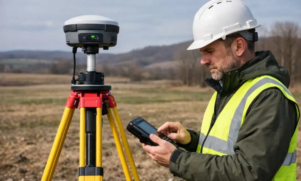
Surveying professionals use GNSS measurements to establish geographic coordinates, collect GIS data, create topographic maps, and identify land boundaries. For cadastral and boundary surveying, dependable positioning measurements are essential to the work, although the required accuracy depends on local regulations, survey methods, and project specifications. High-precision applications may use multi-frequency receivers, RTK corrections, and specialized antennas. Antenna phase-center characteristics, multipath performance, and compatibility with the receiver can all affect measurement quality.
Key Considerations:
Positioning accuracy and multipath performance | Compatibility with receiver bands and RTK workflows
Drones & Autonomous Systems
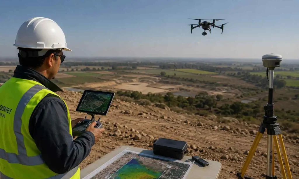
GNSS helps drones and autonomous robots estimate their position and follow programmed routes during navigation, inspection, mapping, and other location-dependent tasks. The positioning system can work alongside onboard sensors and control software to support movement and route planning. Because drones have strict size and weight limits, their antennas often need to balance compact dimensions with suitable signal reception. Installation, satellite visibility, vibration, and interference from nearby electronics should be considered when integrating a GNSS antenna into an unmanned system.
Key Considerations:
Antenna weight, size, and mounting position | Signal reception during movement and changes in orientation
Marine & Maritime Navigation
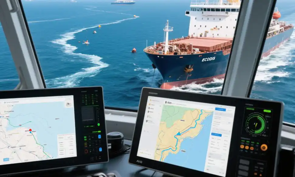
Marine navigation systems use GNSS data to determine vessel position and support route planning, harbor approaches, and maritime operations. Position information can also be integrated with other onboard navigation systems to give operators a clearer view of vessel movement. Since marine equipment operates in demanding outdoor conditions, antenna selection should account for mounting location, exposure to water and weather, and the surrounding vessel structure. A suitable installation helps maintain satellite visibility while reducing avoidable signal obstruction.
Key Considerations:
Weather resistance and installation exposure | Clear satellite visibility and suitable mounting location
Construction & Heavy Equipment
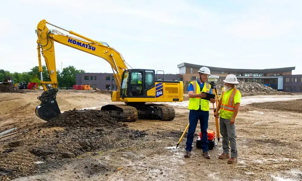
GNSS positioning is used in construction machinery to support excavator and bulldozer guidance, earthmoving, compaction, and paving operations. When integrated with machine-control systems and digital site plans, position data can help operators work toward specified grades, alignments, and surface levels. Equipment used on active construction sites must withstand vibration, dust, moisture, and mechanical impact. Antenna mounting, stable signal reception, and compatibility with the machine’s positioning system are therefore important parts of the overall design.
Key Considerations:
Vibration resistance and secure antenna mounting | Positioning accuracy required by the machine control system
Consumer & IoT Positioning
Compact GNSS technology enables wearables, handheld navigation devices, personal trackers, and connected IoT products to determine their location for navigation, safety, and location-based services. Unlike larger vehicle or surveying equipment, these devices often have limited space, battery capacity, and antenna clearance. Antenna design must therefore balance size, efficiency, and integration requirements. The device enclosure, the user’s body, nearby components, and the antenna’s orientation can all influence reception and should be considered during product development.
Key Considerations:
Compact antenna dimensions and integration space | Power constraints, device enclosure, and antenna placement

Recommended GPS & GNSS Antenna Products


Relevant content
Relevant content
base station applications and solutions
Looking for the Right Antenna Solution?
Airplux provides customized antenna solutions for different applications and project requirements. Contact our antenna experts to discuss your next project.